Map of the world:
http://www.flickr.com/photos/walkingsf/6277163176/in/photostream (author: Eric Fischer)
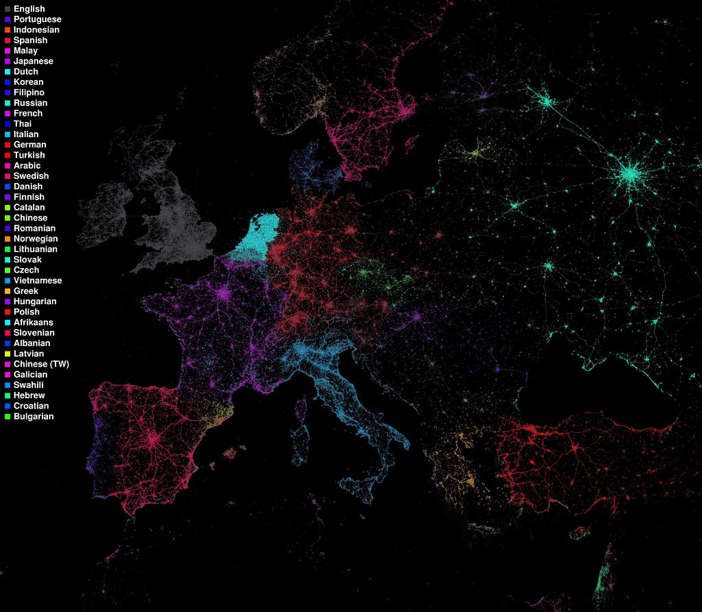
In the following two maps you can clearly see where Catalan tweets are issued: look for the yellow colour along the northeastern coast of the Iberian peninsula, and the adjacent islands!
Map of Europe:
News item on Generalitat de Catalunya website: http://www20.gencat.cat/portal/site/Llengcat/menuitem.21576464db9e81e7a129d410b0c0e1a0/?vgnextoid=035748a344371110VgnVCM1000000b0c1e0aRCRD&vgnextchannel=035748a344371110VgnVCM1000000b0c1e0aRCRD&vgnextfmt=detall&contentid=e173d8d408883310VgnVCM2000009b0c1e0aRCRD
Amplified (Catalan-speaking lands): https://fbcdn-sphotos-a.akamaihd.net/hphotos-ak-ash4/391523_10150911653040635_448105915634_21293977_1336675300_n.jpg

Cap comentari:
Publica un comentari a l'entrada